Our Services
Quality Is What MacCurrach Does Best
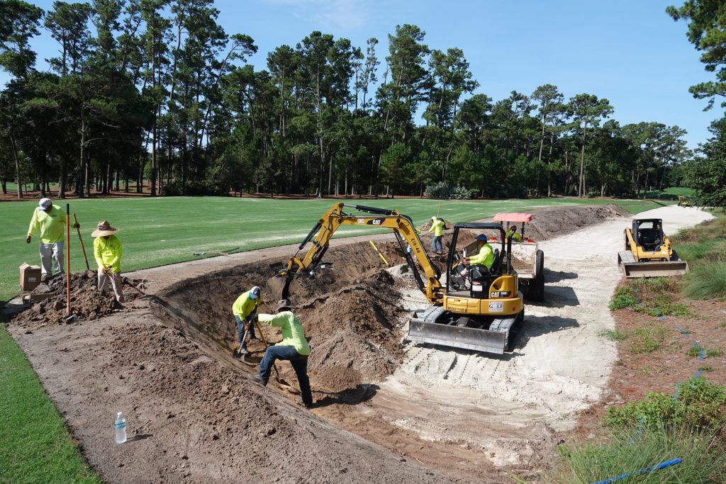
On a golf course, quality starts under your feet. Players only see about 10% of what it takes to build a course. The majority of what makes a golf course successful is below the turf: drainage, irrigation, feature construction and finish work. This is where MacCurrach Golf has earned its reputation . . . in the dirt.

Site & Civil Work
- Land clearing & demolition
- Mass earthwork & machine control grading
- Erosion control
- Large diameter storm drainage
- Concrete structures and manholes
- Pond lining
Golf and Feature Construction
- Small diameter drainage installation, including 2” TurfFlow drainage
- Greens construction and renovation Including USGA and California profiles
- Tee lasering, alignment and resurfacing
- Bunker construction, including installation of EcoBunker, Bunker Solutions, Capillary Concrete and Better Billy Bunker
- Cart path installation, removal and refurbishment
- Artificial turf installation
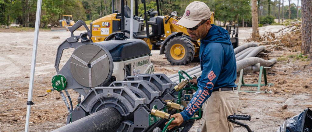
Irrigation
- New system installation or existing system retrofits
- HDPE piping systems using butt-, saddle-, socket- and electro-fusion
- PVC piping systems
- Toro & Rainbird
- Satellite and 2-wire systems
- Wetwell and intake installation
- Pump station installation
- Certified Irrigation Installer – Golf Course Builders Association of America
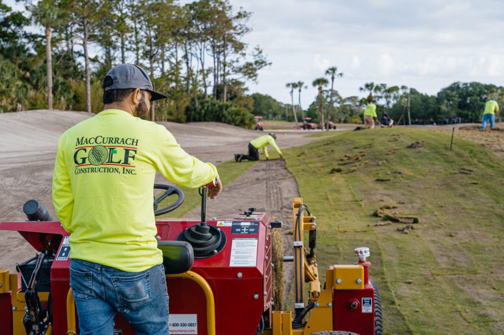
Finish Work & Grassing
- Detailed finish work utilizing specialized small equipment and meticulous handwork,
- Precise seed bed preparation;
- Big roll and slab sod installation
- Sod-to-sprigging, conventional sprigging and hand sprigging
- Conventional seeding and hydroseeding
Technology
MacCurrach Golf has mastered the integration of modern technology with on-site construction. Using Trimble GPS data collectors, robotic total stations and cloud-based data storage, MGC offers rapid and accurate information flow between architect, office and field.
- 3D greens mapping with reconstruction to sub-centimeter accuracy
- Use of 3D surface models and machine-controlled GPS dozers, including immediate uploads of adjustments to ‘revise on the fly’
- On-demand layout work and feature staking with survey grade precision
- Daily data collection & quantity measurements
- CAD based as-built mapping


